Why
CGS?
Driven by purpose, not profit. Our world-class, multidisciplinary team crafts tailored solutions and decision-support tools that break boundaries and turn complexity into clear, actionable intelligence. With a proven track record of delivering ambitious yet affordable geospatial solutions, we’re committed to driving a tangible, meaningful difference in the world.
Helping Changemakers Big and Small
We help nonprofit, private, and public organizations unlock new understanding and amplify positive impact. CGS is a trusted partner — combining geospatial expertise with exceptional service to drive real change.


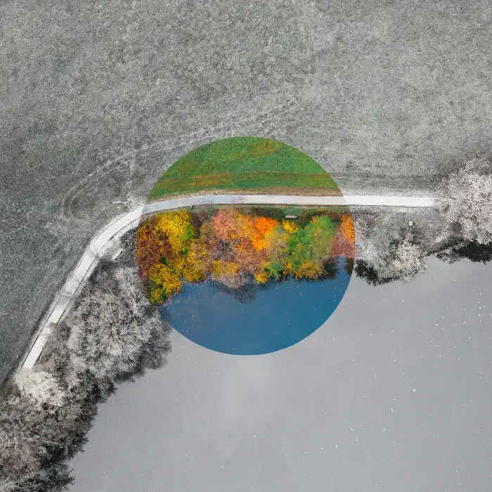
Our Expertise
.jpg)
Data Modernization
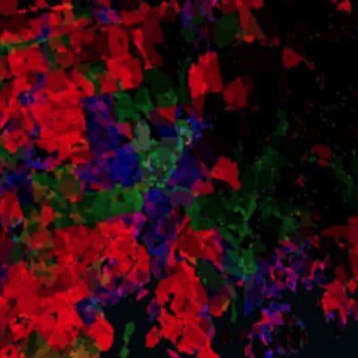
Data Fusion
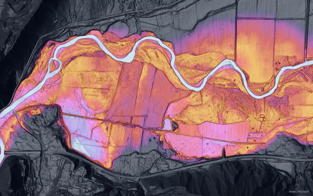
Data Visualization
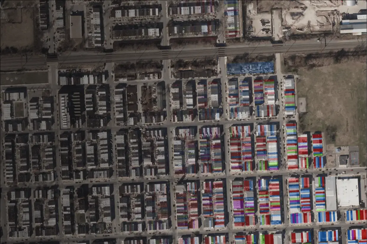
Who Owns America®
This groundbreaking analysis by CGS empowers organizations with crucial insights into property ownership trends across the United States. With unrivaled accuracy and detail, our novel approach equips policymakers with the evidence they need to support better land management, community development, urban planning, environmental conservation, and more.

Their commitment to clients is outstanding. Our complex project involved data from over two dozen counties and required a great deal of listening and adapting on their end. [CGS] delivered every step of the way.

CGS excels at combining high-level technical expertise with an ability to think through how data products can be accessible to the public and best used by policymakers to change the status quo.

The Center for Geospatial Solutions is moving the global environmental field forward to meet ambitious goals set forth by scientists to save and restore our planet.

Our Services

Data & Asset Inventory
Taking stock of information, integrating sources, and creating management platforms for sustained use.

Analysis & Mapping
Collecting, analyzing, and visualizing spatial data to create accurate maps and surveys.

Data Management
Organizing, storing, and processing data so that information can be leveraged efficiently.

Geospatial Infrastructure
Architecture, infrastructure, and scaling — in open source and proprietary platforms (ArcGIS).

App Development
Designing, creating, and implementing custom dashboards and applications.
Geospatial Experts for the Greater Good
CGS is a group of passionate problem solvers with a deep understanding of the complex issues facing our world today — and an even deeper enthusiasm for tackling them. This, combined with our belief in the power of technology to improve communities and our planet, guides our work.