Data & Asset Inventory

Get a comprehensive view of your resources and operations. By centralizing and digitizing your asset information, CGS empowers you to optimize resource allocation, mitigate risks, and seize growth opportunities. Our tailored solutions ensure that you have the critical insights needed to make informed decisions and drive sustainable success.
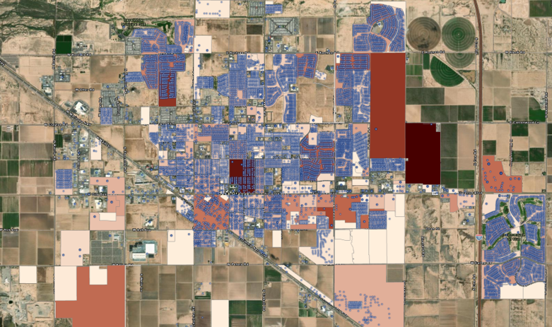
pinal_county_subdivisions_screenshot

How it Works

Enhance organizational oversight and strategic planning with CGS's data and asset inventory services.
Data Inventory

Data Inventory

Know what you have, what you need, and what you’re missing. We find where useful information lives, its format, who can access it, and how it’s used. Our geospatial services cover everything from geographic datasets and maps to satellite imagery, databases, files, spreadsheets, and more.


Asset Inventory

Asset Inventory

CGS helps you take stock and manage your physical assets, like infrastructure and natural resources. We use GPS, drones, and satellite tech to capture and assess asset locations. Then, our team creates digital asset registries and links attributes to each layer, making it easy for you to find the info you need when you need it.

Systems Integration

Systems Integration

CGS delivers a unified view by integrating GIS systems with non-GIS systems, covering all data types and sources. We help you create a cohesive data story, making it easier for your team to visualize, analyze, and report your data effectively.

Analysis & Mapping

With our advanced analytical capabilities and visualization techniques, CGS helps you uncover patterns, trends, and correlations that drive innovation and competitive advantage. From geospatial analysis to interactive mapping solutions, CGS equips you with the tools and expertise needed to navigate complexity and achieve your strategic objectives.

analysis-and-mapping

How It Works

Promote data-driven decision-making across your organization with CGS's analysis and mapping services.
Geospatial Data Collection

Geospatial Data Collection

CGS offers remote sensing expertise to collect geospatial data from the field. This process includes collecting geospatial information in the form of high-resolution optical images, multispectral shots, LiDAR data, and more.

Data & Spatial Analysis

Data & Spatial Analysis

CGS derives insights using GIS tools and techniques to support your decision making. This includes identifying spatial patterns, analyzing relationships between different datasets, and conducting geospatial modeling.

Map Production

Map Production

CGS creates accurate, detailed, and beautiful maps to meet the specific requirements of your project based on the collected data and analysis results. This includes various layers of information such as land parcels, infrastructure networks,  vegetation cover, and more.

Data Management

CGS provides end-to-end support to optimize your data assets and workflows — from data integration and cleansing to storage and governance. With CGS as your partner, you can trust that your data is managed to the highest standard, enabling you to drive value and innovation.

data-management

How It Works

Streamline your data workflows and enhance collaboration with comprehensive data management solutions.
Data Organization & Storage

Data Organization & Storage

We help you make sense of your spatial data by labeling and saving it in a structured and accessible manner. Our organizational process includes designing and implementing database systems, establishing file organization strategies, and setting metadata standards to help your team easily locate and retrieve data when it’s needed.

Data Enrichment

Data Enrichment

Our team helps you think outside the box and get the data you need to support your projects. Our team localizes information, linking data back to specific places to enhance understanding for your organization, partners, and key stakeholders.

Data Integration & Interoperability

Data Integration & Interoperability

CGS pulls information from multiple sources and formats to create a unified data environment. This process of data transformation ensures compatibility across different systems and applications.

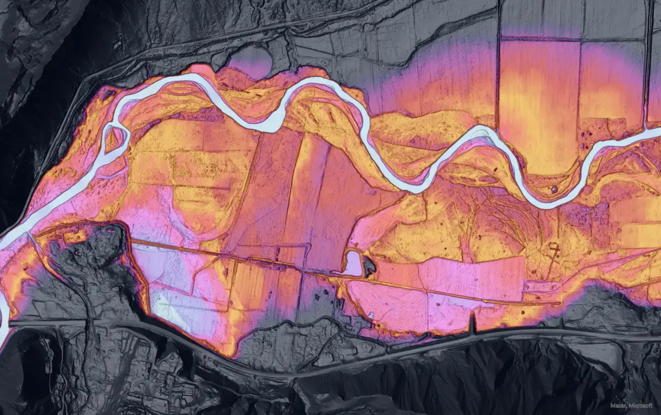
Geospatial Infrastructure

CGS provides tailored solutions that empower you to leverage spatial data as a strategic asset, unlocking insights and driving efficiency in your operations. With CGS's geospatial infrastructure support, you can break down data silos, enhance collaboration, and harness the full potential of location-based intelligence to achieve your business objectives.

GettyImages-1350722246

How It Works

Increase collaboration and clarity with geospatial infrastructure built for seamless integration and sharing.
ArcGIS Platform Management

ArcGIS Platform Management

CGS can help your team be more efficient with the comprehensive suite of geospatial technologies and tools used for creating, managing, analyzing, and sharing geographic information on the ArcGIS platform developed. We are an Esri Silver partner and among a handful of nonprofit organizations to hold that status.

Open Source Options

Open Source Options

Open-source geospatial software provides cost-effective, flexible, and community-driven tools for your geospatial needs. We leverage open-source software solutions like QGIS to get geospatial data that is compliant with the OGC service standards.

Training & Support

Training & Support

Help your team be effective and efficient with data management. CGS can help your team with software installation, customization, development, and training on your data infrastructure.

App Development

Transform your ideas into innovative solutions with CGS's custom app development services, tailored to meet your organization's unique needs and challenges. Whether you need a mobile app, web application, or custom software solution, we combine cutting-edge technology with user-centric design to deliver intuitive and powerful applications.

GettyImages-1442991004

How It Works

App development services that help you collect, access, and analyze the data you need with ease. 
Requirements Gathering

Requirements Gathering

CGS works with your team to understand your questions, frame your needs, and pinpoint your goals. Understanding your project objectives, workflows, and specific requirements helps us determine the best way to develop your app.

Designing & Prototyping

Designing & Prototyping

Creating a custom app means providing your input at every turn. Our iterative and highly collaborative process allows you to visualize the app's functionality and provide feedback through every step of development.

Development

Development

CGS specializes in a wide breadth of programming languages (Python, JavaScript, and others). Our team is experienced in integrating technology with GIS databases, web mapping APIs (such as Google Maps or Mapbox), and other third-party services (like Esri ArcGIS) according to the approved app design and specifications.

Let's Rise to the Challenge

CGS is a group of passionate problem solvers with a deep understanding of the complex issues facing our world today — and an even deeper enthusiasm for tackling them. This, combined with our belief in the power of technology to improve communities and our planet, guides our work.

Looking for a partner in progress?
We’d love to hear from you.