Planning Under Pressure: Growth, Water Scarcity, and Uncertainty

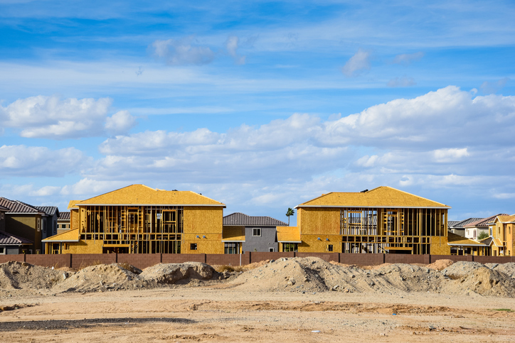
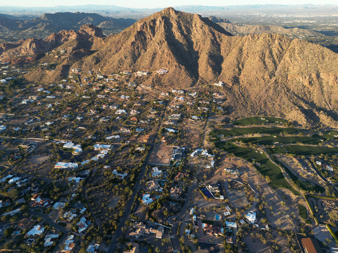
Pinal County, Arizona sits at the crossroads of a complex planning dilemma. The region is experiencing rapid growth. Housing demand is rising, major employers are moving in, and pressure is mounting on already limited surface and groundwater supplies, raising questions about water scarcity in the region.

At the same time, Arizona’s Assured Water Supply (AWS) Program requires the demonstration of one hundred years of available water supplies and infrastructure before a public report can be issued allowing the sale of a single lot. Compliance with the AWS Program in groundwater basins located in parts of Pinal County has become a significant constraint on the development of subdivided lands in particular for building attainable housing.

Arizona Water Company logoArizona Water Company and other partners in the region struggled to answer key questions critical to tackling water scarcity:

  • How much groundwater can be relied on and still be able to provide a sustainable supply?
  • How can we meet AWS requirements while still supporting economic development?
  • Where can growth happen?

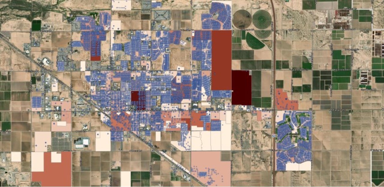
Until now, the data needed to answer these questions were scattered, outdated, or locked in PDFs. Without a centralized view, decision-makers struggled to plan with confidence.

OUR APPROACH

From Fragmented Records to Future-Ready Tools

The Center for Geospatial Solutions (CGS) partnered with Arizona Water Company to develop a centralized platform for land and water data integration. The tool combines up to date water usage data, existing AWS determinations, and development approvals into a single interface — empowering water utilities and planners with a shared source of facts to address water scarcity, AWS compliance and the development of a diverse water supply portfolio.

GettyImages-993311030
Dashboard screenshot highlighting subdivision and water meters in Pinal County
1
2
3
4
5

What Leaders Can See Now

By unifying historically siloed data, CGS delivered a new standard for water utility decision support, helping communities move from reactive to proactive planning. It’s a practical, policy-aligned model for water utility decision support in regions facing mounting water security issues.

Quotes

This is the most accurate and detailed view we’ve ever had of our region’s water reality. It’s changing the conversation.

Terri Sue Rossi
Terri Sue Rossi
Vice President - Water Resources, Arizona Water Company

By the Numbers

66 %

Average

Water savings identified compared to AWS allocation

15 +

Years

Of groundwater replenishment obligations clarified parcel-by-parcel, supporting AWC reporting and planning

1000 +

Subdivisions

Analyzed for allocation and parcel-level real water use 

3

Jurisdictions

Unified in one platform for regional water utility decision support

What's Next?

A Scalable Model for Smarter Water Planning

This isn’t a one-off project; it’s a scalable model for the future of water planning in Arizona and the Southwest.

CGS is actively partnering with utilities and regional leaders across Arizona and the western U.S. to replicate this approach to land and water data integration — creating decision-ready tools for water utility decision-support, water scarcity planning, and long-term resilience.

Aerial view of town in

Smarter Housing Policy Starts Here

Who Owns America can rapidly equip other cities, regions, and states with the ownership insights they urgently need to defend affordability and foster equitable growth.