Average owned by corporations
NATIONAL ANALYSIS
A Parcel-Level View of Corporate Control
Fragmented ownership records obscure who controls the land beneath our homes. Standardized parcel-level data reveals policymakers can’t fully see where investor activity clusters, much less how it reshapes affordability, tax flows, and long-term stability.
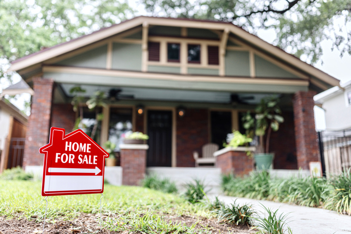
As corporations expand their share of America’s housing stock, communities need reliable, reproducible data to understand how investor ownership affects residents and local residential real estate markets.
.png)
Why It Matters
Different Neighborhoods, Different Realities
Parcel-level mapping reveals patterns that national averages obscure: in many communities, in-state corporate landlords dominate, while in others out-of-state investors quietly extract wealth from local economies. By tracing ownership of land itself at the parcel-level, communities gain a block-by-block view of who controls their future and where exactly they need to take action to shift power back home.
.png)
WHO OWNS AMERICA
Property Ownership Insights for Equitable Change
Who Owns America (WHOA) is CGS’s standardized, parcel-level methodology to classify land ownership across the United States. Using authoritative data and reproducible methods, the analysis helps communities understand who owns what and apply these learnings to tackle housing, equity, and sustainability.
CGS partners directly with states, cities, and community organizations to apply WHOA for research and custom decision-support tools that guide policy development, land-use planning, and equitable development.